
DeSoto Neighbors Block Sources
Public sources can describe the physical block around a DeSoto address, but each one has a limited purpose. Parcel records show a parcel and an owner or mailing entry. City mapping can name a planning neighborhood or association area. Historical directories can place an occupant at an address on a publication date. Public voter records have their own access rules, and a normal status lookup is not a street-wide search. Treat the records as separate evidence, not as a live household roster.
| Source | What It Shows About a Block | Access |
|---|---|---|
| DCAD map and parcel cards | Adjacent parcels, owner, mailing and situs fields, and legal descriptions | Public map and card, one parcel at a time |
| City neighborhood GIS | Planning neighborhood name, HOA flag, contact metadata, and established-year field | Queryable city layer; not legal parcel boundaries |
| City zoning and plats | Subdivision and lot framework, zoning, and street context | Interactive map or Planning and Zoning request |
| Neighborhood association directory | Association contact, formation, activity, and public community detail | City facility directory and association pages |
| Voter-file route | Statutory public registration fields by address or precinct when properly requested | SOS request process; fees, use limits, and protected records apply |
| Directories and census | Historical address or household snapshot at a dated point | Library, microfilm, digitized volumes, or released census years |
Ownership does not establish occupancy. A DCAD card separates owner, mailing address, situs, and legal description, and a homestead exemption is only an owner-occupancy clue. The strongest DeSoto block research keeps the parcel identifier with the date and asks the next source a narrower question.
Building permits and code records can add an address-based timeline, but they answer a different question. DeSoto’s Customer Self-Service route can support permit and inspection research, while older permit history may require a narrow city request. Code Enforcement can involve a complaint, notice, mowing action, lien, or case contact, but no complete public case index was located. Neither source is an owner or occupant register.
Map a DeSoto Neighbor Block
The adjacent-parcel method begins with one exact address and works outward through the map. DCAD’s address search accepts a number and street name, with optional direction, building, suite, city, number range, and account type. Its parcel viewer can search by account, address, or owner pattern. Use the street’s physical parcel, or situs, as the starting point. A tax mailing entry may point somewhere else and should not be treated as the person living on the block.
- Search the exact address in DCAD Address Search and save its account number and legal description.
- Open the DCAD Property Map, search the address or account, and select the parcel.
- Pan or zoom while holding the same street segment in view. Click each adjoining polygon separately and open its account path when available.
- Use the legend to read map symbols. Measure tools provide orientation only, not a legal survey. Compare a boundary question with a plat or city source.
- For a full named-street records chain rather than an immediate block, use the DeSoto street directory workflow.
DCAD offers Clear Selection, Measure Length, Measure Area, Measure Lat-Long, Legend, Locate, Create Map, basemap, Share, and feedback tools. Create Map can preserve a titled private-research view. It cannot turn parcel proximity into proof that one person owns or occupies another parcel.
Read DeSoto Neighbor GIS Layers
DeSoto’s neighborhood layer adds a community view that DCAD’s parcel map does not provide. Its queryable FeatureServer layer carries fields for Neighborhood_ID, Name, HOA, Contact_Info, population estimate where available, established year, last update, and data steward. Those fields can help identify a public community contact or explain why nearby parcels fall under the same neighborhood label. The layer has a maximum of 2,000 records, and its update interval and history are not fixed.
Source view: the official DeSoto Neighborhood FeatureServer layer publishes the metadata and query endpoint used for community context.
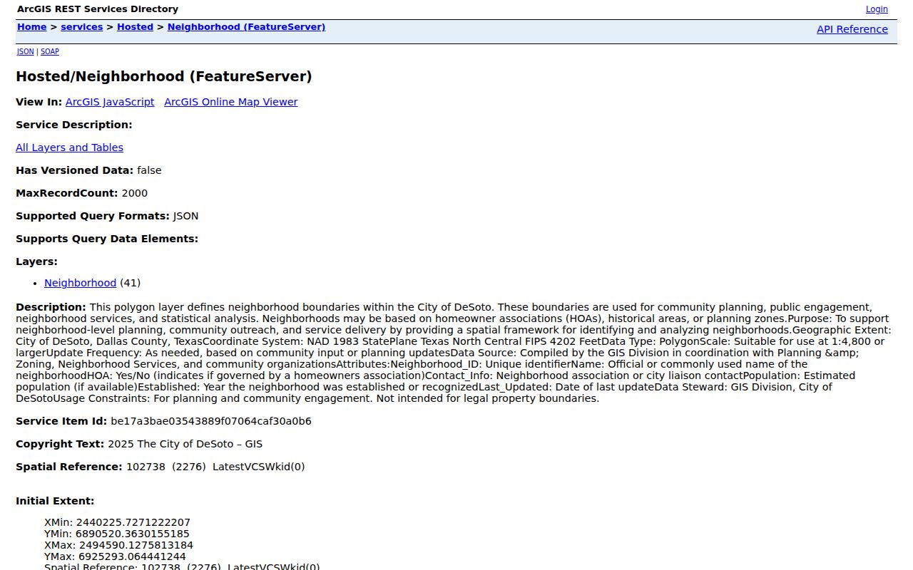
The city describes GIS information as reference material, and its neighborhood boundaries are not certified survey or legal parcel boundaries. Use city zoning or Planning and Zoning for subdivision and plat questions, then retain the legal description from the parcel record.
Find DeSoto Neighbor Association Contacts
City-hosted association pages are a community contact layer, not a member roster. They can identify how a neighborhood organizes, whether it is mandatory or voluntary, and what public activities or contact channels it provides. They are useful for block questions that call for a public association contact, civic event, or local history clue. They do not establish who belongs to every household.
| Association | Public DeSoto Detail | Contact or Access Clue |
|---|---|---|
| Avondale | 113 homes; mandatory HOA formed in 2003 | City page provides association contact and board detail, not a member list |
| Centre Estates | Formed in 1995; 262 households and 65 association members reported | City page lists contact route, crime watch, and beautification context |
| Club Ridge Estates | 93 homesites; developed in 1985, with the last lot in 2005 | Published directory is noted, but its contents are not posted by the city |
| Candle Meadow | HOA with management and board or contact information | Use the city page for the public contact route |
| Briarwood Estates | More than 400 homes; voluntary association with parks, trails, and meetings | Public association activities and contact are listed |
| Brighton Estates | 85 homes between Hampton, Belt Line, and Parkerville | City page gives public activity and contact clues |
Source view: the DeSoto Facilities directory offers filters for existing neighborhood associations, keywords, listing or map mode, sort, and pagination.
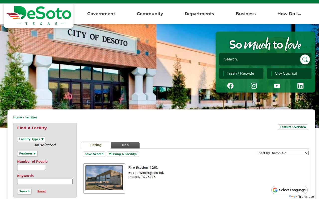
The searchable directory makes it practical to check the current city listing instead of assuming a static association list is complete.
Distinguish DeSoto Neighborhood Groups
DeSoto’s Starting an Association material distinguishes a homeowners association from a neighborhood association. An HOA is tied to subdivision homeowners. A neighborhood association can include residents in a defined area. Some groups are voluntary and many are mandatory, while membership remains open inside the group’s boundaries. That distinction matters when a public contact page refers to an association but does not publish a block-wide directory.
The city hosts free association pages and supports a collaboration workshop, CERT, Mayor 360, Adopt-a-Street, grants, Eyes and Ears, and the House Number Program. For Civic Center space, the city says a president or designated liaison must be in its directory. The City Manager’s Office and the association route are appropriate ways to ask about a public event or contact, not to request a private list of residents.
Source view: the DeSoto neighborhood-association page describes its directory support and civic-program links.
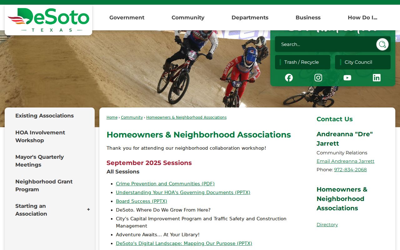
The city resource is most useful for a public community connection, while individual membership stays outside the directory’s purpose.
Use DeSoto Neighbor Voter Limits
Texas law allows access to a public registration list with statutory fields and restrictions, but the ordinary My Voter Portal is a one-person status tool, not a street-wide interface. Its name route uses first and last name, county, date of birth, and ZIP, with VUID plus date of birth as an alternate route. A match can support registration status, county, precinct, and polling information. It does not disclose a ballot choice.
A full-file request can use status, effective-date range, Texas mailing address, county, and voting-field filters. The form requires requester and contact information, a complete address, and a notarized affidavit, and it describes a deposit and delivery choices. Election Code section 18.009 prohibits using registration information to advertise or promote commercial products or services. Protected voters and Address Confidentiality Program participants have withheld or substitute addresses.
| Official block sources | Compiled neighbor tools |
|---|---|
| Parcel-by-parcel, dated, and tied to a named custodian | May blend public filings, marketing data, and brokered data |
| Shows only the fields that source law permits | Can lag behind moves or merge people with similar names |
| Can be checked against a map, identifier, or clerk record | Needs independent confirmation before any conclusion |
Place a DeSoto Neighbor Block in History
Historic street directories and census records can provide a dated block snapshot. Read the street heading, house number, names or initials, owner marker, role abbreviation, intersection, and any “Vacant” entry using the volume’s own key. A vacant line can reflect a transition, demolition, new construction, or publication timing. It is not proof that no one lived there. Pair it with adjacent entries, deed or permit dates, and the relevant census enumeration.
DeSoto incorporated in 1949, so earlier historic research should not force current city boundaries or ZIP labels onto a rural Dallas County entry. Test DeSoto and De Soto spelling, road names, subdivision, rural precinct, and county context. Dallas Public Library, Texas State Library and Archives Commission microfilm, the Portal to Texas History, and Dallas Genealogical Society resources give the historical fallback when a street answer is not online.
Historic neighborhood geography can also be read through development dates. Club Ridge Estates was developed in 1985 and reported its last lot in 2005. Centre Estates was formed in 1995 and incorporated in 2007. Avondale reports formation in 2003. Those facts can help select which deed, plat, permit, directory, or census years are worth testing for a particular DeSoto block.
Note: A public directory or census entry is a time-stamped historical clue, not proof that a person remains on the DeSoto block today.
Protect DeSoto Neighbor Lookup Privacy
Private household members, utility customers, motor-vehicle address records, protected voters, sealed court parties, and private organization rosters do not become public just because an address is known. Texas Election Code section 13.004 protects Social Security, driver-license, and DPS identification information. Government Code provisions protect qualifying officials’ and licensees’ personal fields in stated circumstances, and Transportation Code chapter 730 restricts motor-vehicle information.
The Texas Address Confidentiality Program gives eligible survivors and qualifying household members a substitute address and mail-forwarding route. Use a city association page or block-watch program to locate public activities, not to uncover private members. Texas privacy rights and data-broker rules have separate procedures, while public deeds, court dockets, and voter records remain governed by their own statutes and custodians.
Lawful use. Use DeSoto neighbors research for personal, lawful block awareness, family history, or civic curiosity. Never use a record to stalk, harass, intimidate, or harm another person.